MA143_hti_fooddistributionindex_A3_v1-300dpi.jpg
From the dataset abstract
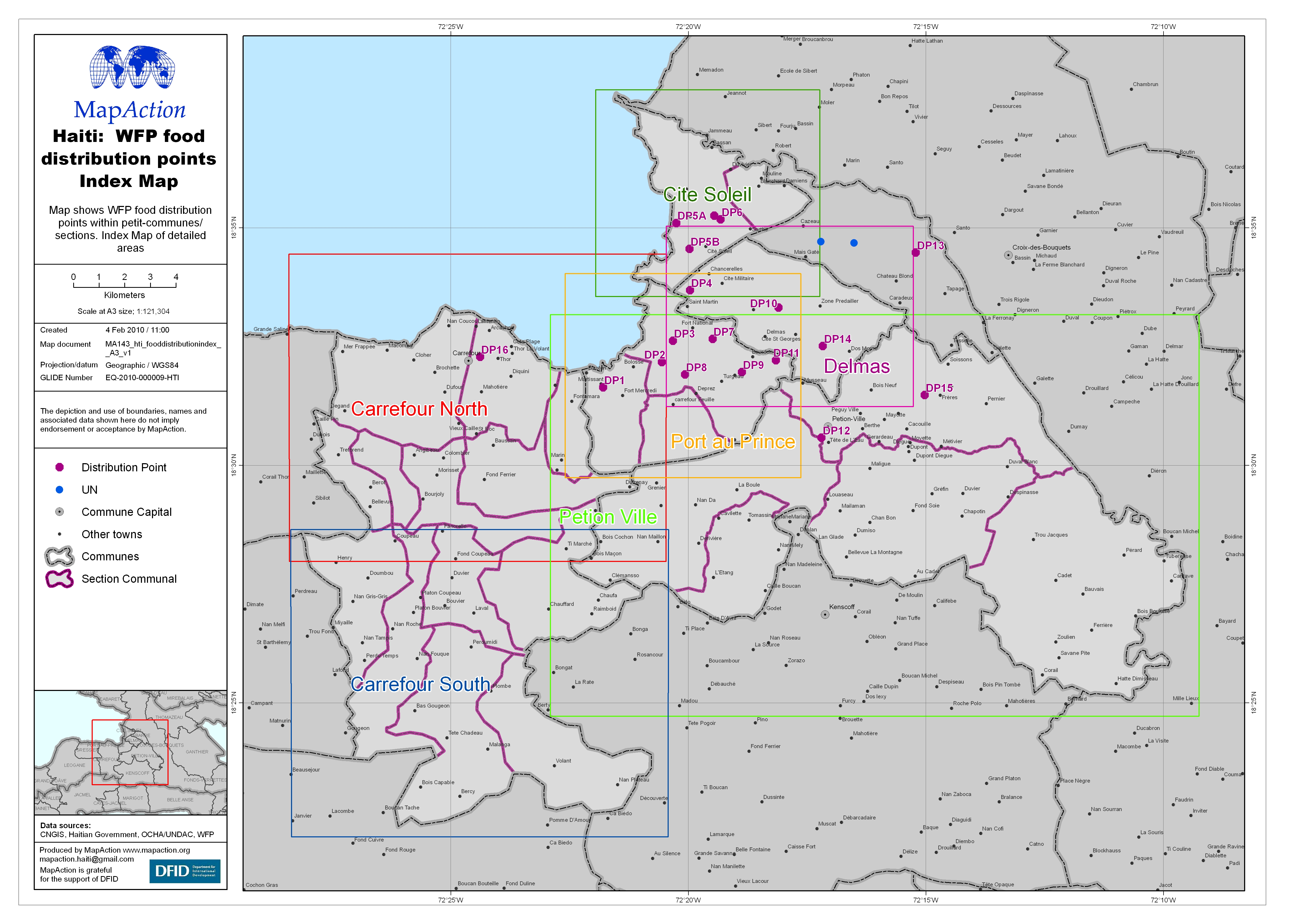
Map shows WFP food distribution points within petit-communes/ sections. Index Map of detailed areas
Additional Information
| Field | Value |
|---|---|
| Data last updated | July 4, 2016 |
| Metadata last updated | July 4, 2016 |
| Created | July 4, 2016 |
| Format | JPEG |
| License | License not specified |
| Has views | True |
| Id | 61dca88b-4532-41e4-9730-b875c3d2ca7b |
| On same domain | True |
| Package id | babf642f-bebb-4d6a-a973-ac1e055416e8 |
| Revision id | 12c4e8b4-a875-479d-9616-dbac2df3f26b |
| State | active |
| Url type | upload |