MA104_hti_indexdetailstreets_v3_9.jpg
From the dataset abstract
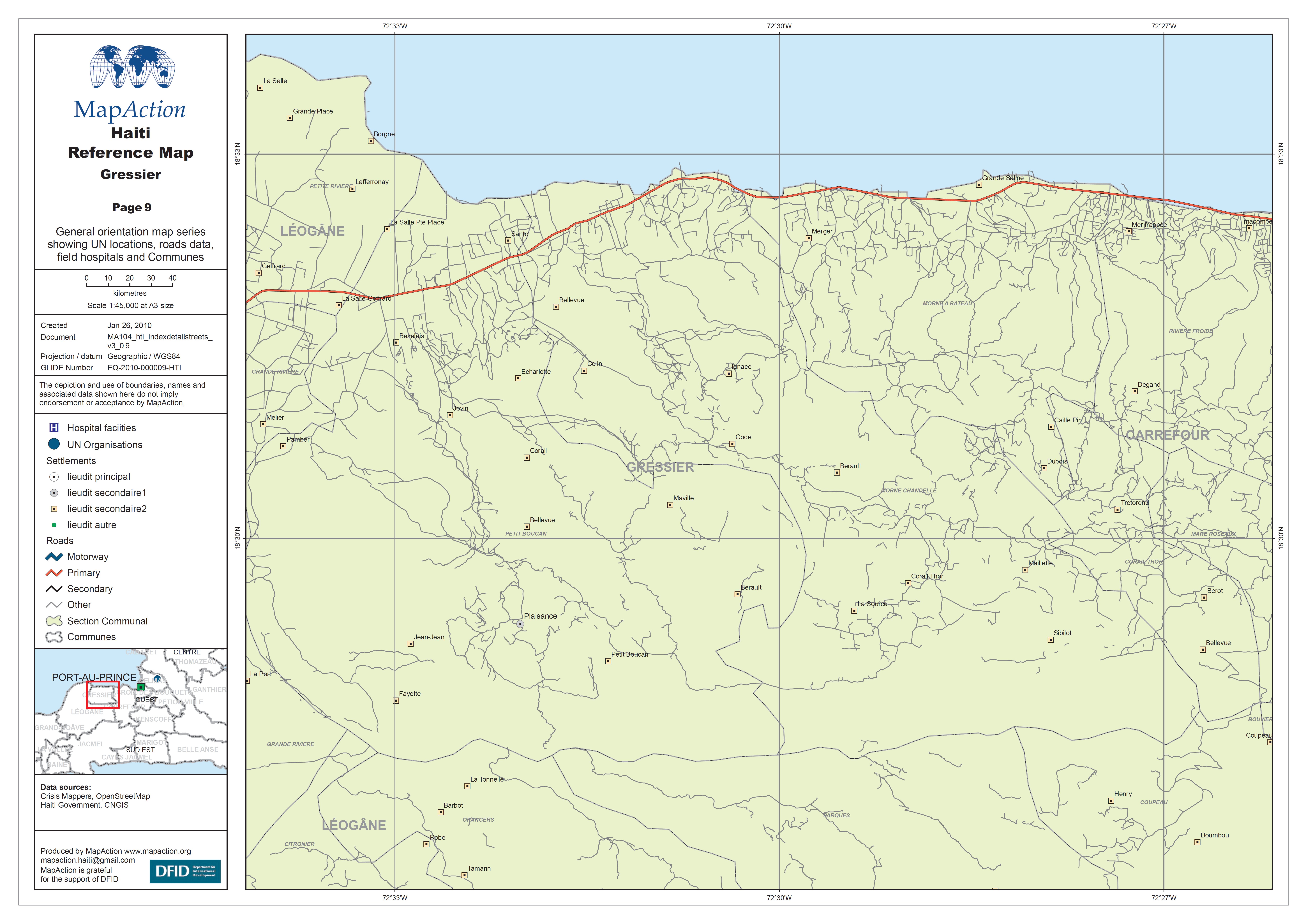
General orientation map series showing UN locations, roads data, field hospitals and Communes.
Source: Haiti Reference Map - Gressier
Additional Information
| Field | Value |
|---|---|
| Data last updated | July 4, 2016 |
| Metadata last updated | July 4, 2016 |
| Created | July 4, 2016 |
| Format | JPEG |
| License | License not specified |
| Has views | True |
| Id | 64beb385-5284-4423-8dcd-bbf9e7ec1b15 |
| On same domain | True |
| Package id | 79bb8416-81ec-44f4-9627-05f85030fd6e |
| Revision id | e97b7dc4-b3e3-4df1-88a8-e80ffe9531d5 |
| State | active |
| Url type | upload |