MA025_hti_UNDAC_assess_16Jan-A3_v1.jpg
From the dataset abstract
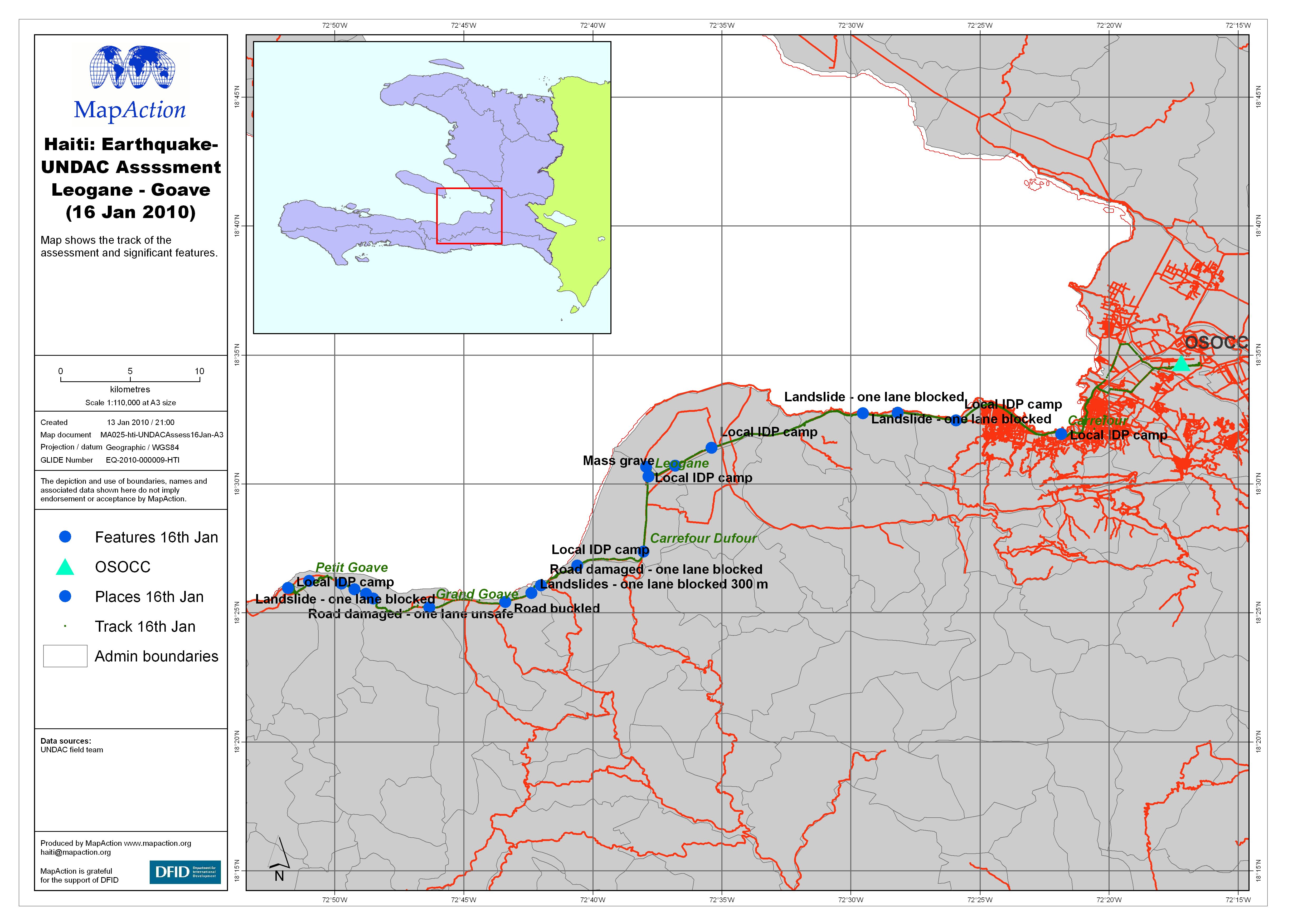
Overview of the UNDAC assessment conducted on the 16th January 2010 to Leogane and Goave. The map shows the track of the assessment and significant features.
Additional Information
| Field | Value |
|---|---|
| Data last updated | July 4, 2016 |
| Metadata last updated | July 4, 2016 |
| Created | July 4, 2016 |
| Format | JPEG |
| License | License not specified |
| Has views | True |
| Id | a9851985-4d74-4f1f-b549-46b89ac84944 |
| On same domain | True |
| Package id | a6062483-70fa-4e1b-8971-12cc5d22d058 |
| Revision id | 7080831a-1ad6-4cfb-ab74-415b474095ea |
| State | active |
| Url type | upload |