MA137-ref-150k_-Agam-East-A3-v01-300dpi.jpg
From the dataset abstract
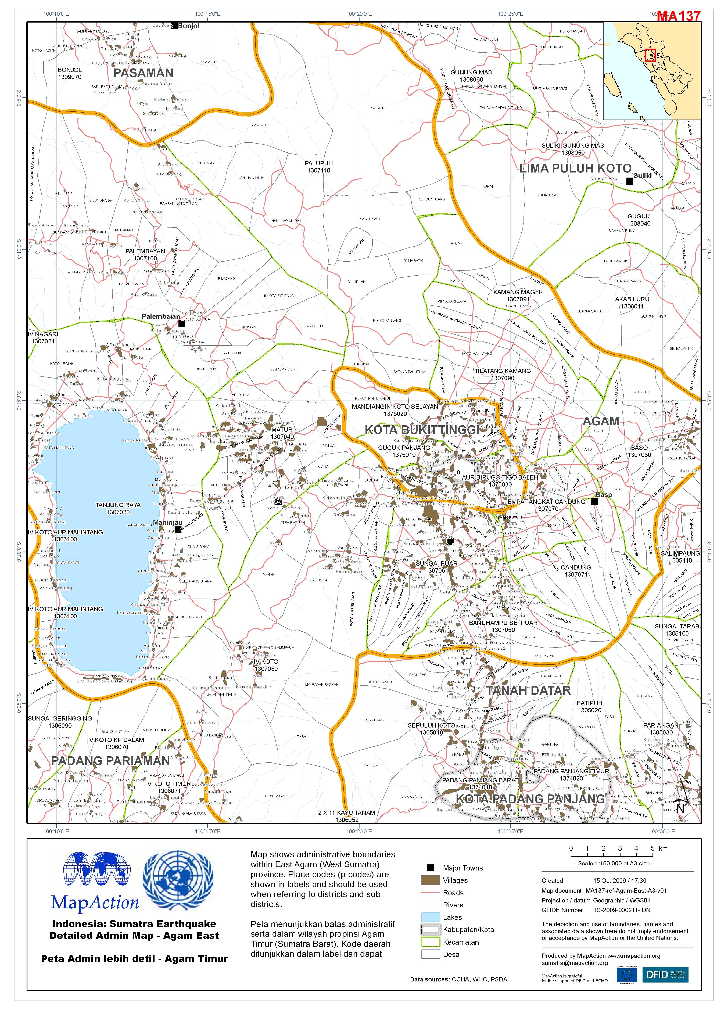
Map shows administrative boundaries within East Agam (West Sumatra) province. Place codes (p-codes) are shown in labels and should be used when referring to districts and sub-districts....
Source: Indonesia: Sumatra Earthquake Detailed Admin Map - Agam East Peta Admin lebih detil - Agam Timur
Additional Information
| Field | Value |
|---|---|
| Data last updated | July 4, 2016 |
| Metadata last updated | July 4, 2016 |
| Created | July 4, 2016 |
| Format | JPEG |
| License | License not specified |
| Has views | True |
| Id | 824984ef-8036-4f01-94c8-1ca5c4f08057 |
| On same domain | True |
| Package id | 6c38d1bd-ee36-4a18-a7f9-a69c065d92b3 |
| Revision id | 82a14b82-6c87-45ea-982a-c98acd22e66f |
| State | active |
| Url type | upload |