MA035-PHL-DamagedHousing-05Oct2009-A3-portrait- ...
From the dataset abstract
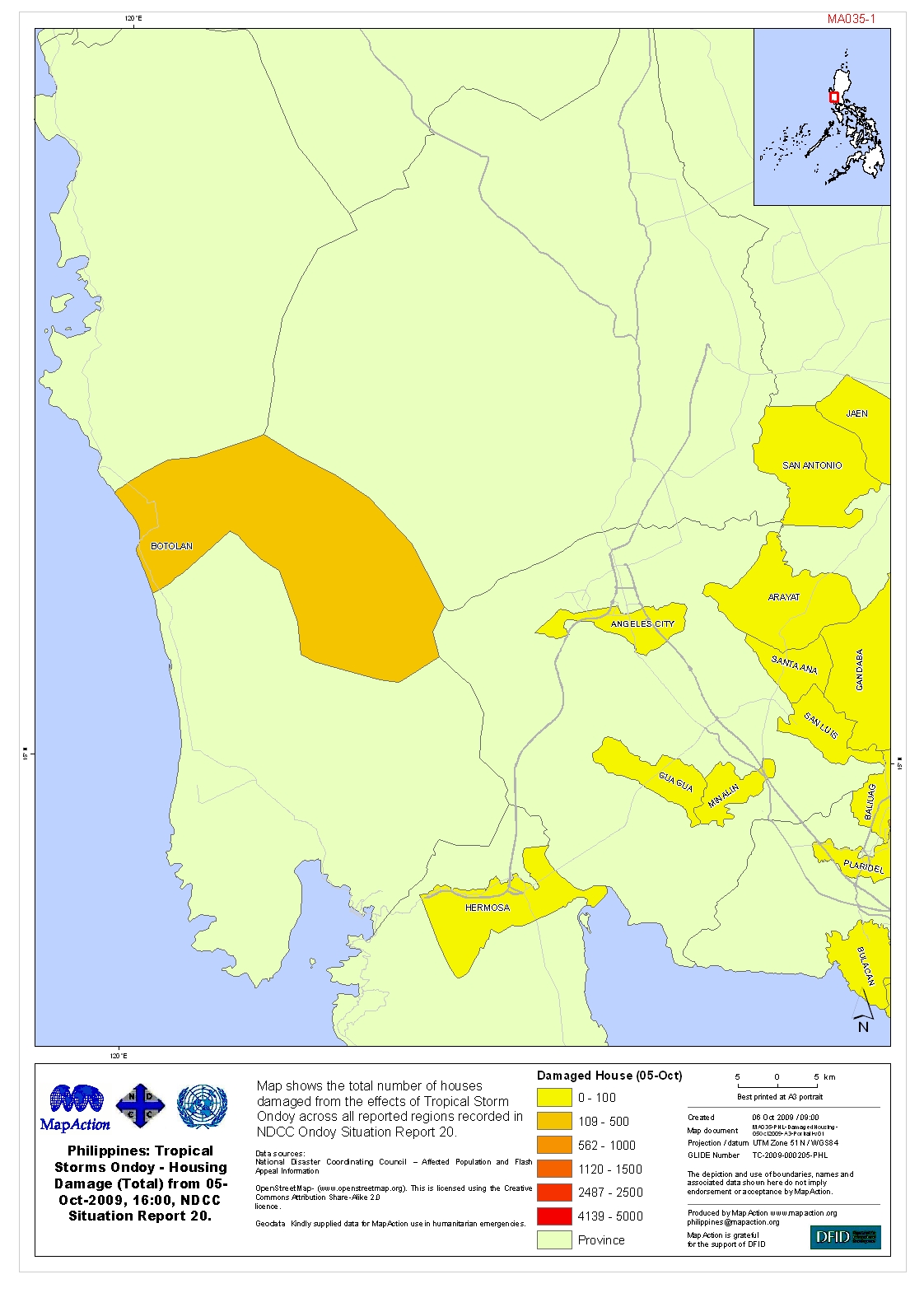
Map shows the total number of houses damaged from the effects of Tropical Storm Ondoy across all reported regions recorded in NDCC Ondoy Situation Report 20.
Additional Information
| Field | Value |
|---|---|
| Data last updated | July 4, 2016 |
| Metadata last updated | July 4, 2016 |
| Created | July 4, 2016 |
| Format | JPEG |
| License | License not specified |
| Has views | True |
| Id | 98a43899-98a5-43c8-99ea-52812b4c3e1f |
| On same domain | True |
| Package id | 130db259-39c1-4386-9f08-b6df0330854c |
| Revision id | 272e36a2-3d61-4936-a7e6-c203e217fcd9 |
| State | active |
| Url type | upload |