MA029-PHL-Cagayan-Pepeng-04Oct2009-A3-Portrait- ...
From the dataset abstract
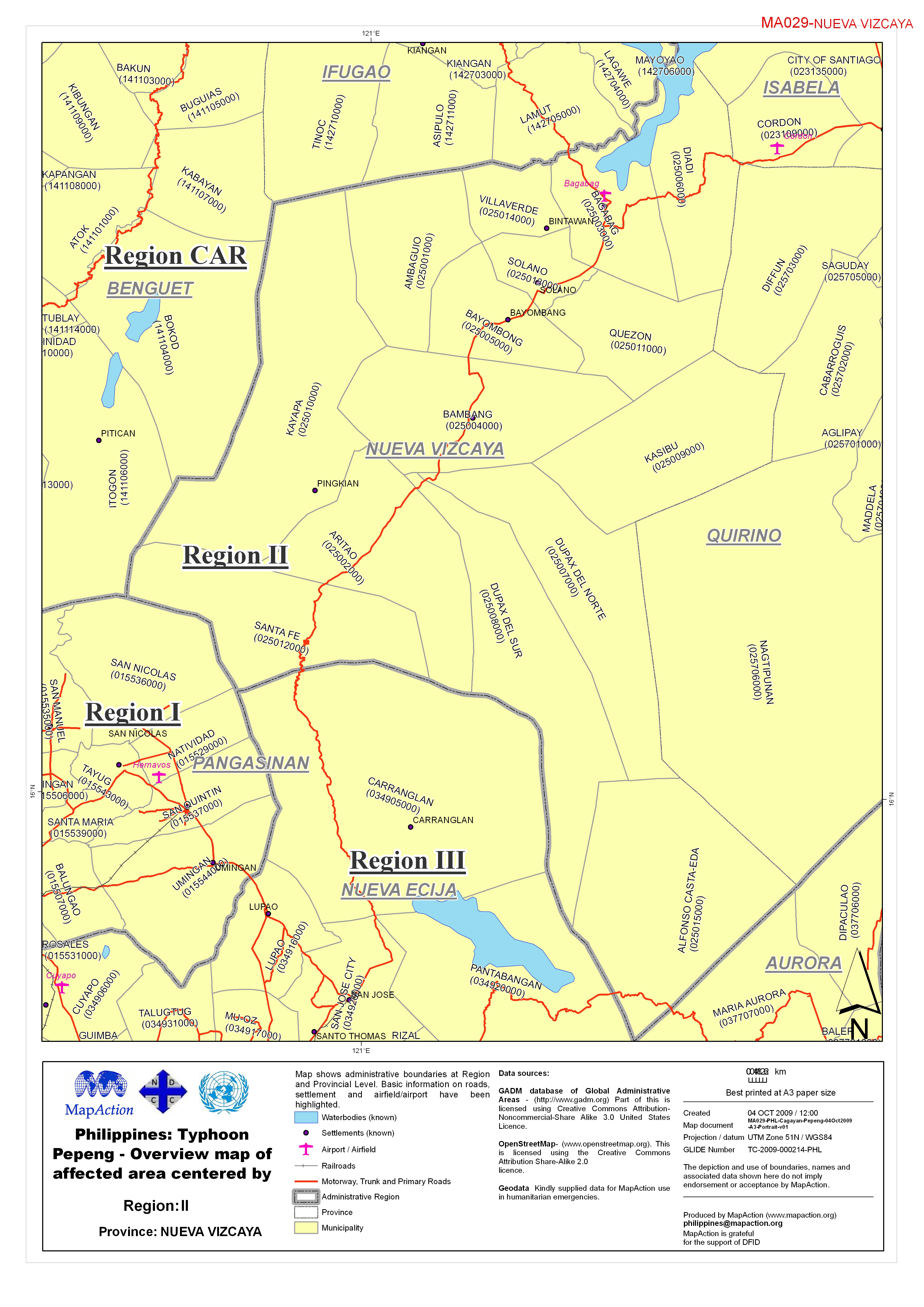
Map shows administrative boundaries at Region and Provincial Level. Basic information on roads, settlement and airfield/ airport have been highlighted.
Source: Philippines: Typhoon Pepeng - Overview map of affected area centered by province.
Additional Information
| Field | Value |
|---|---|
| Data last updated | July 4, 2016 |
| Metadata last updated | July 4, 2016 |
| Created | July 4, 2016 |
| Format | JPEG |
| License | License not specified |
| Has views | True |
| Id | faaa33cf-78cb-4599-b4e5-9e844a1ffe4f |
| On same domain | True |
| Package id | 25d60b24-26d3-4b20-84ab-5a19a1f8707c |
| Revision id | 63f0824d-fd33-4943-9691-8c3068b5b15c |
| State | active |
| Url type | upload |