MA012-PHL-ECOverview-02Oct2009-v02-300dpi.jpg
From the dataset abstract
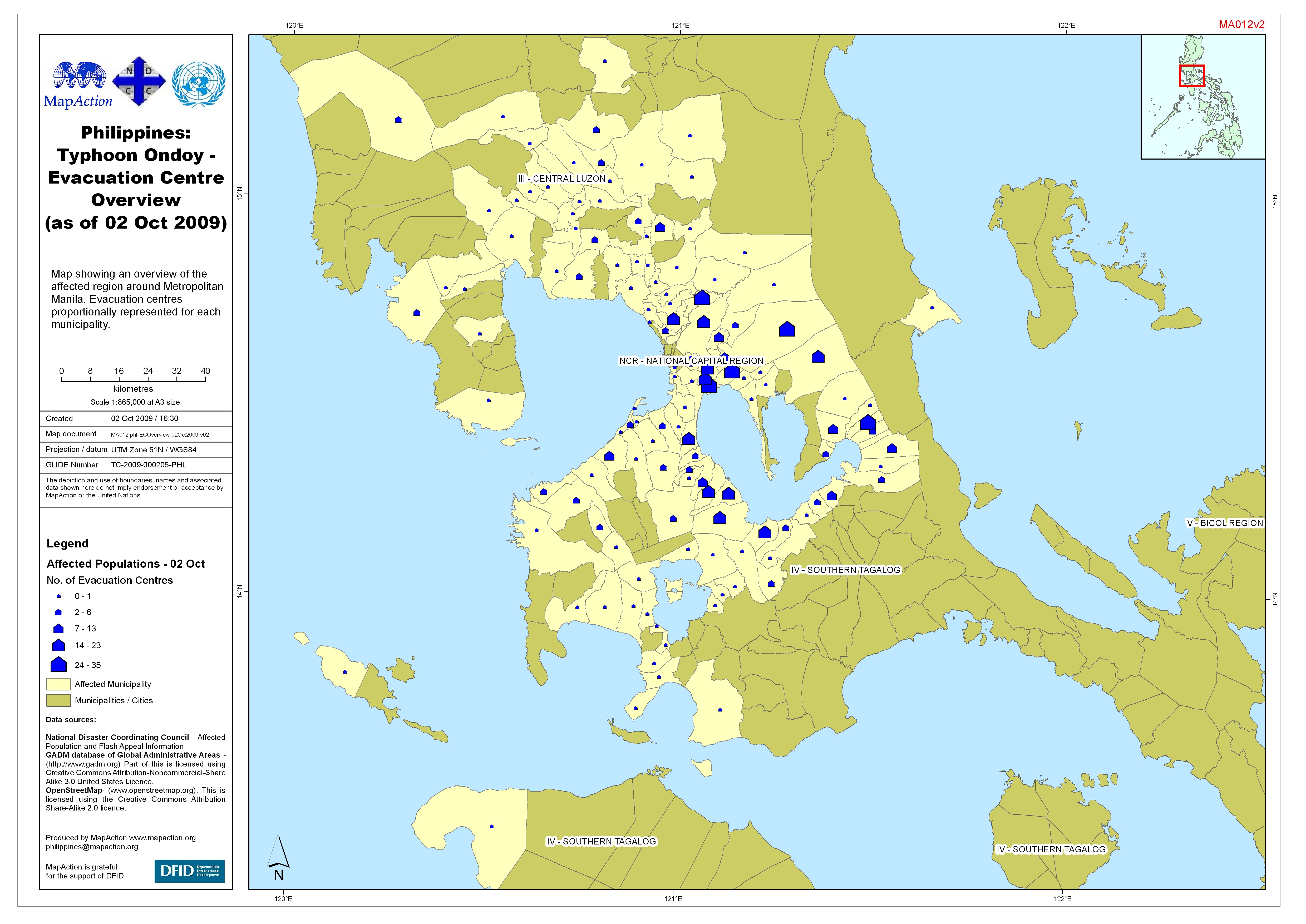
Map showing an overview of the affected region around Metropolitan Manila. Evacuation centres proportionally represented for each municipality.
Source: Philippines: Typhoon Ondoy - Evacuation Centre Overview (as of 02 Oct 2009)
Additional Information
| Field | Value |
|---|---|
| Data last updated | July 4, 2016 |
| Metadata last updated | July 4, 2016 |
| Created | July 4, 2016 |
| Format | JPEG |
| License | License not specified |
| Has views | True |
| Id | da2ad60c-2973-4424-a817-3b1bf0763110 |
| On same domain | True |
| Package id | 304d01a5-bead-4546-bd04-c3907b6b36be |
| Revision id | 1672e405-08a2-4aaa-a6dd-52f13c7c1374 |
| State | active |
| Url type | upload |