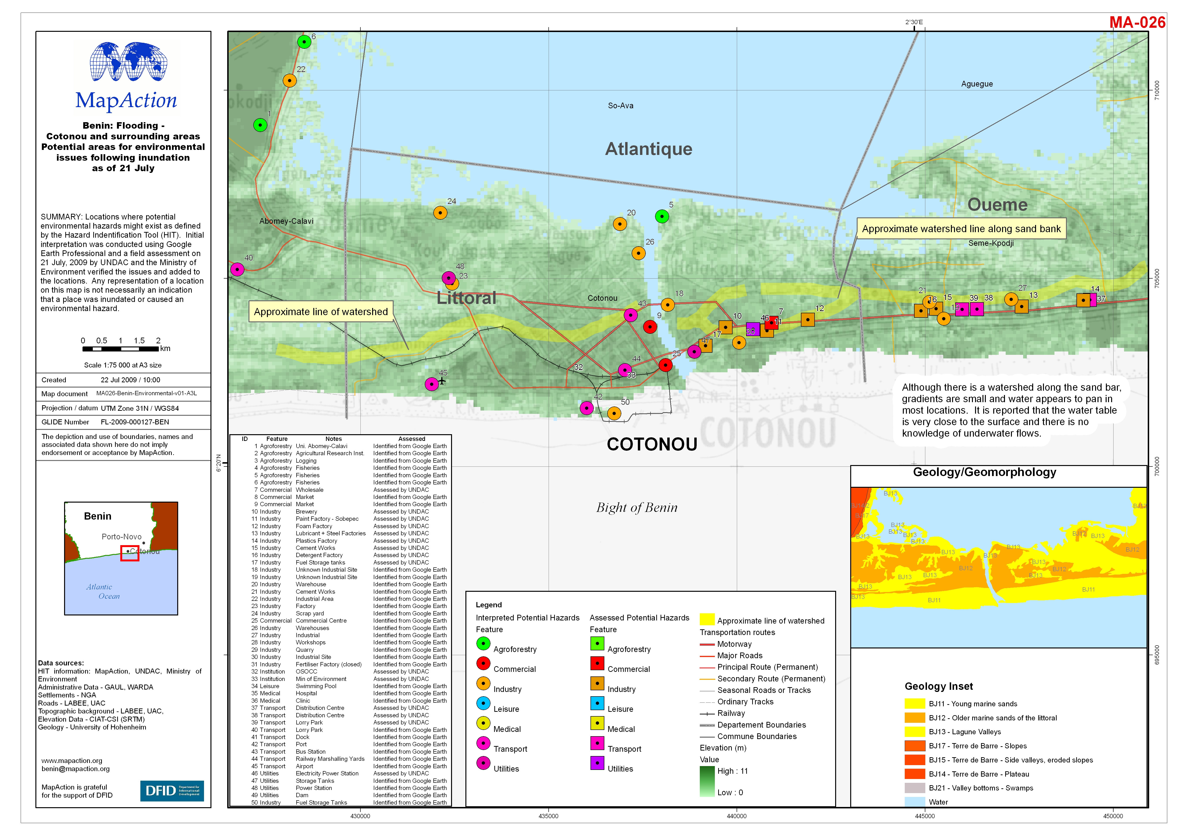
MA026-Benin-Environmental_v01-A3-P-300dpi.jpg
From the dataset abstract
Locations where potential environmental hazards might exist as defined by the Hazard Indentification Tool (HIT). Initial interpretation was conducted using Google Earth Professional and a...
Additional Information
| Field | Value |
|---|---|
| Data last updated | July 4, 2016 |
| Metadata last updated | July 4, 2016 |
| Created | July 4, 2016 |
| Format | JPEG |
| License | License not specified |
| Has views | True |
| Id | ddac5d83-1147-416d-b2de-f16acb7006a1 |
| On same domain | True |
| Package id | 5bd18b12-053c-4bd2-9e71-3ebc99d4bbd6 |
| Revision id | f94eba39-bff2-4bd2-8224-f9f9abe7828e |
| State | active |
| Url type | upload |
