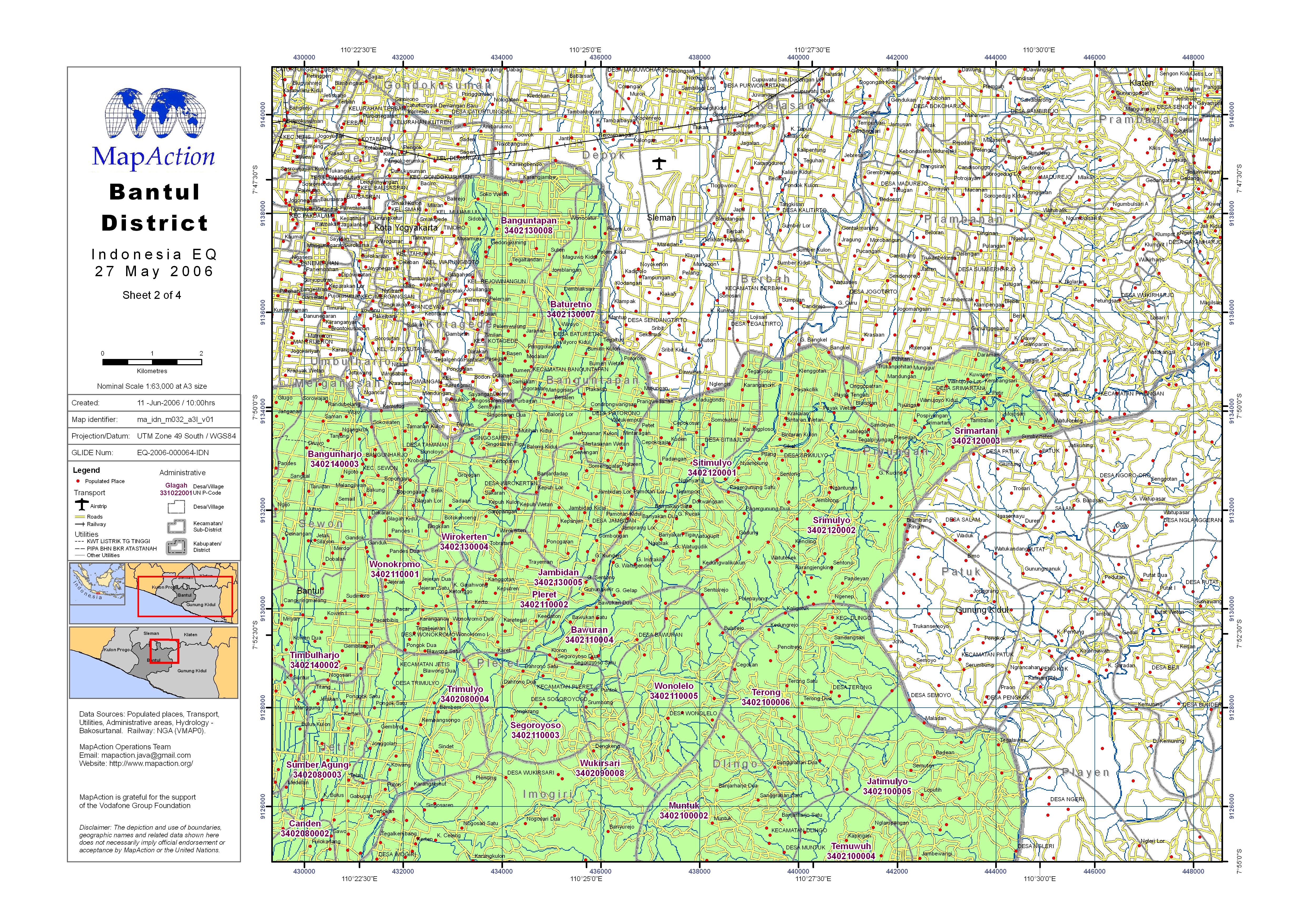
ma_idn_m032_a3l_v01_Bantul_hig_res.jpg
From the dataset abstract
Village settlements, utilities and administrative districts (level 4 - Desa) with government PCODEs.
Source: Bantul District (Sheet 2 of 4)
Additional Information
| Field | Value |
|---|---|
| Data last updated | July 4, 2016 |
| Metadata last updated | July 4, 2016 |
| Created | July 4, 2016 |
| Format | JPEG |
| License | License not specified |
| Has views | True |
| Id | 2a51d46f-44cb-4de6-b3d0-c1c20493c607 |
| On same domain | True |
| Package id | 4dcf38b5-573e-4333-91d8-d46153ec29ee |
| Revision id | e5e1c737-e20d-4648-9141-a782841e0846 |
| State | active |
| Url type | upload |
