ma_idn_m025_a3l_v01_Klaten_hig_res.jpg
From the dataset abstract
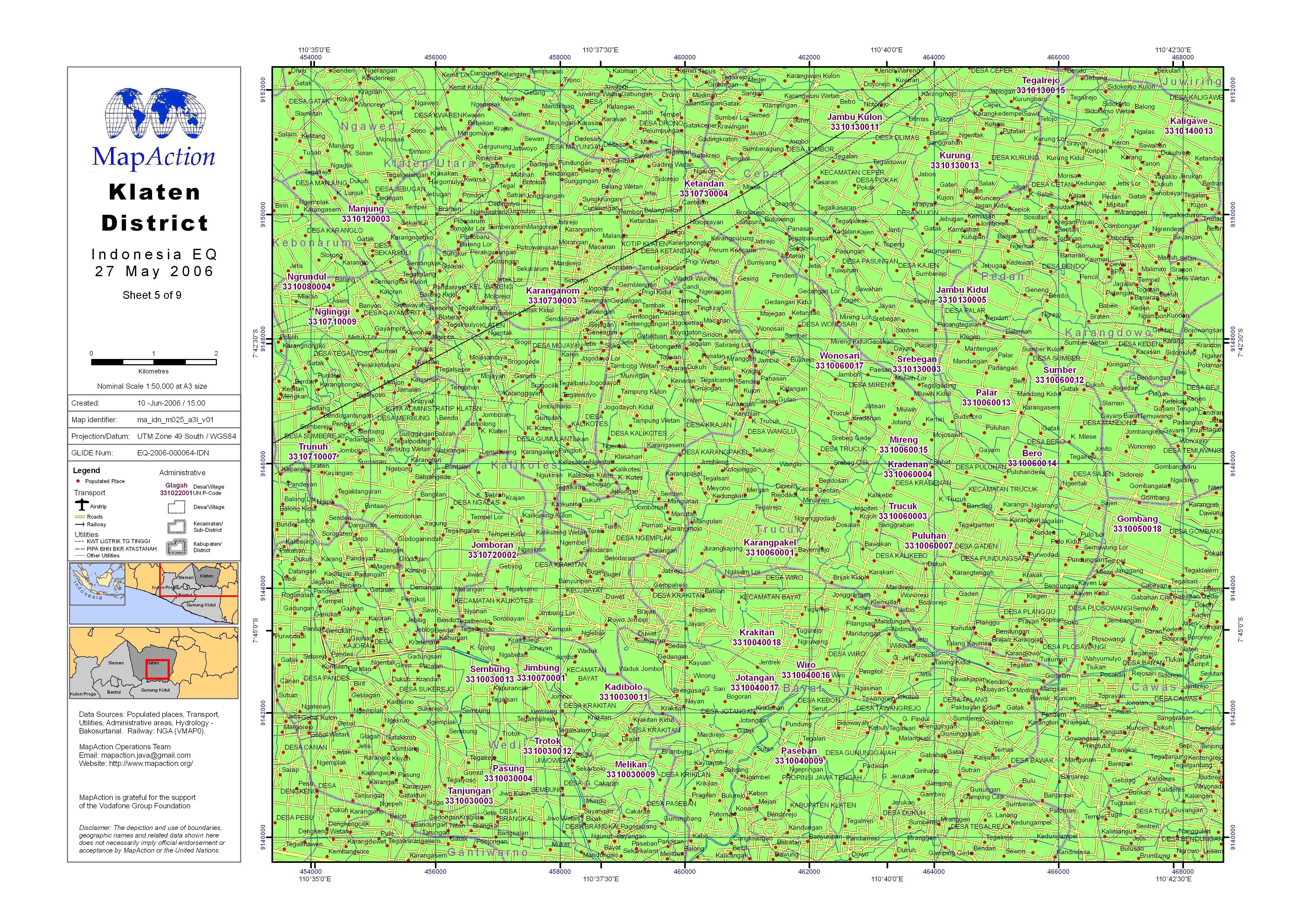
Village settlements, utilities and administrative districts (level 4 - Desa) with government PCODEs.
Source: Klaten District (Sheet 5 of 9)
Additional Information
| Field | Value |
|---|---|
| Data last updated | July 4, 2016 |
| Metadata last updated | July 4, 2016 |
| Created | July 4, 2016 |
| Format | JPEG |
| License | License not specified |
| Has views | True |
| Id | 30584411-64fb-48db-8263-c7eb72bbb0c8 |
| On same domain | True |
| Package id | 056fce52-125b-4800-abc9-692233e3433d |
| Revision id | 660140d7-d918-4420-8ab3-f9cc3eaaed1f |
| State | active |
| Url type | upload |