ma_idn_m011_a3p_v02_Merapi_hig_res.jpg
From the dataset abstract
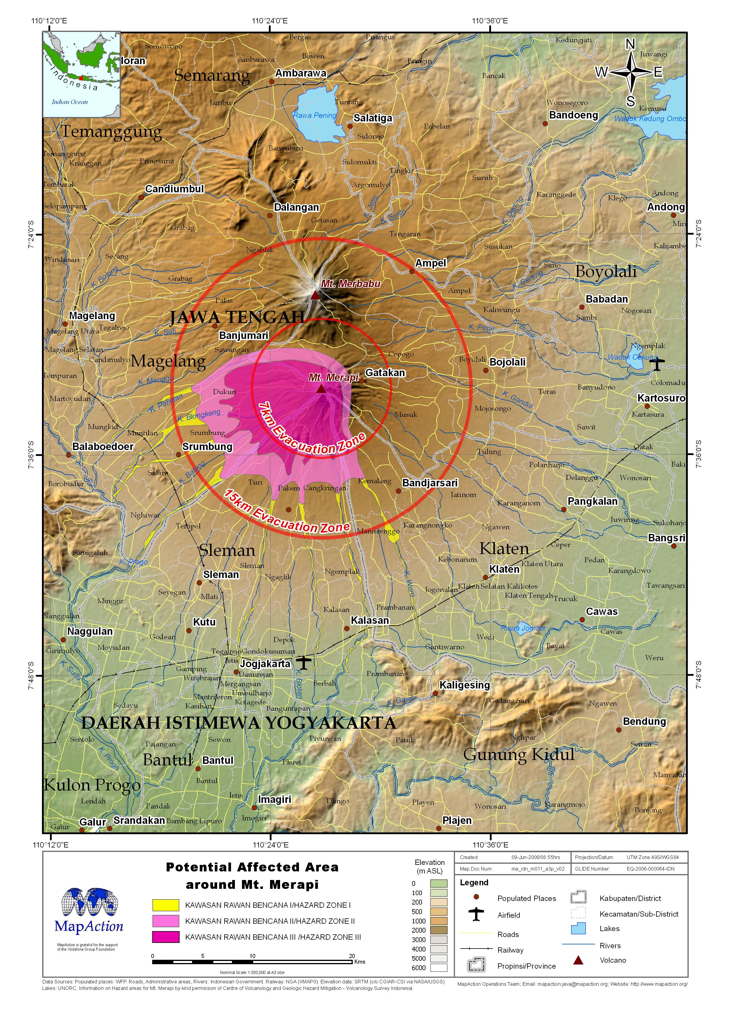
Central Java showing Mt. Merapi, Earthquake epicentre and administrative boundaries
Source: Mt. Merapi and Earthquake
Additional Information
| Field | Value |
|---|---|
| Data last updated | July 4, 2016 |
| Metadata last updated | July 4, 2016 |
| Created | July 4, 2016 |
| Format | JPEG |
| License | License not specified |
| Has views | True |
| Id | aba8452e-a4d3-404c-bf3a-db1737f6f7f7 |
| On same domain | True |
| Package id | 1a7e97cd-286e-45ed-9574-95c9bdc7b9be |
| Revision id | d2933487-6201-4a42-a937-ebb2701f7282 |
| State | active |
| Url type | upload |