-

Precipitación acumulada en los departamentos afectados entre el 28 de marzo y...
Lluvia acumulada en los departamentos afectados entre el 28 de marzo y el 10 de abril de 2023 -
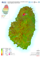
Slopes (degrees) of Saint Vincent
Map shows the slopes of Saint Vincent and the extent of the ash from the La Soufrière eruptions. -

Multi-hazard risks of Saint Vincent atlas
Map showing possible impacts of a modelled volcanic hazards (specifically landslides and possible routes for lahars) and hydrological hazard (specifically flash flood). The... -

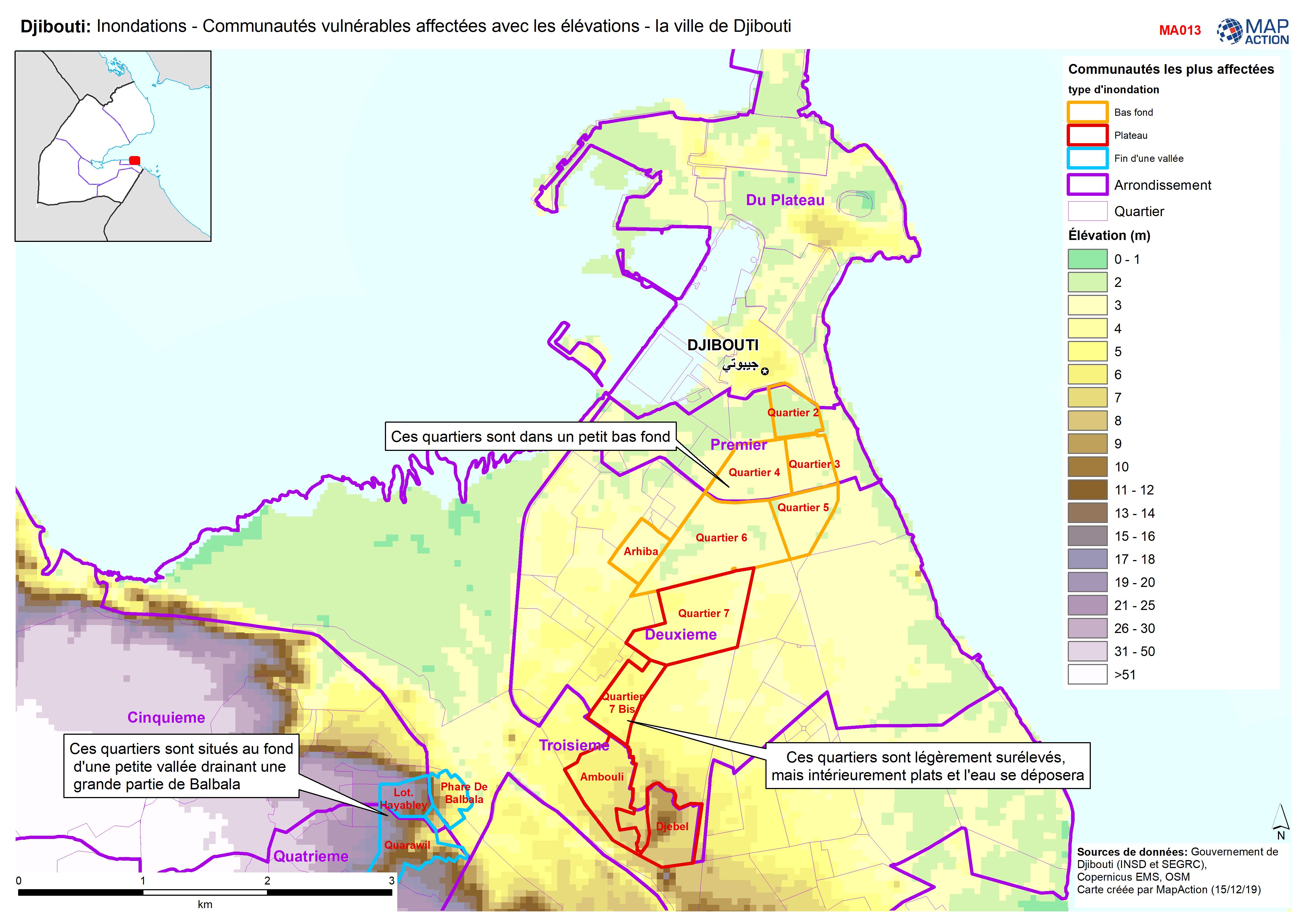
Djibouti: Inondations - Communautés vulnérables affectées avec les élévations...
Djibouti City - Map shows the most affected flooded communities, containing the most vulnerable populations, alongside elevation data to demonstrate the effects of elevation and...