MA016F-LCA-TransportSectorDamage_MapBook-A3-v01 ...
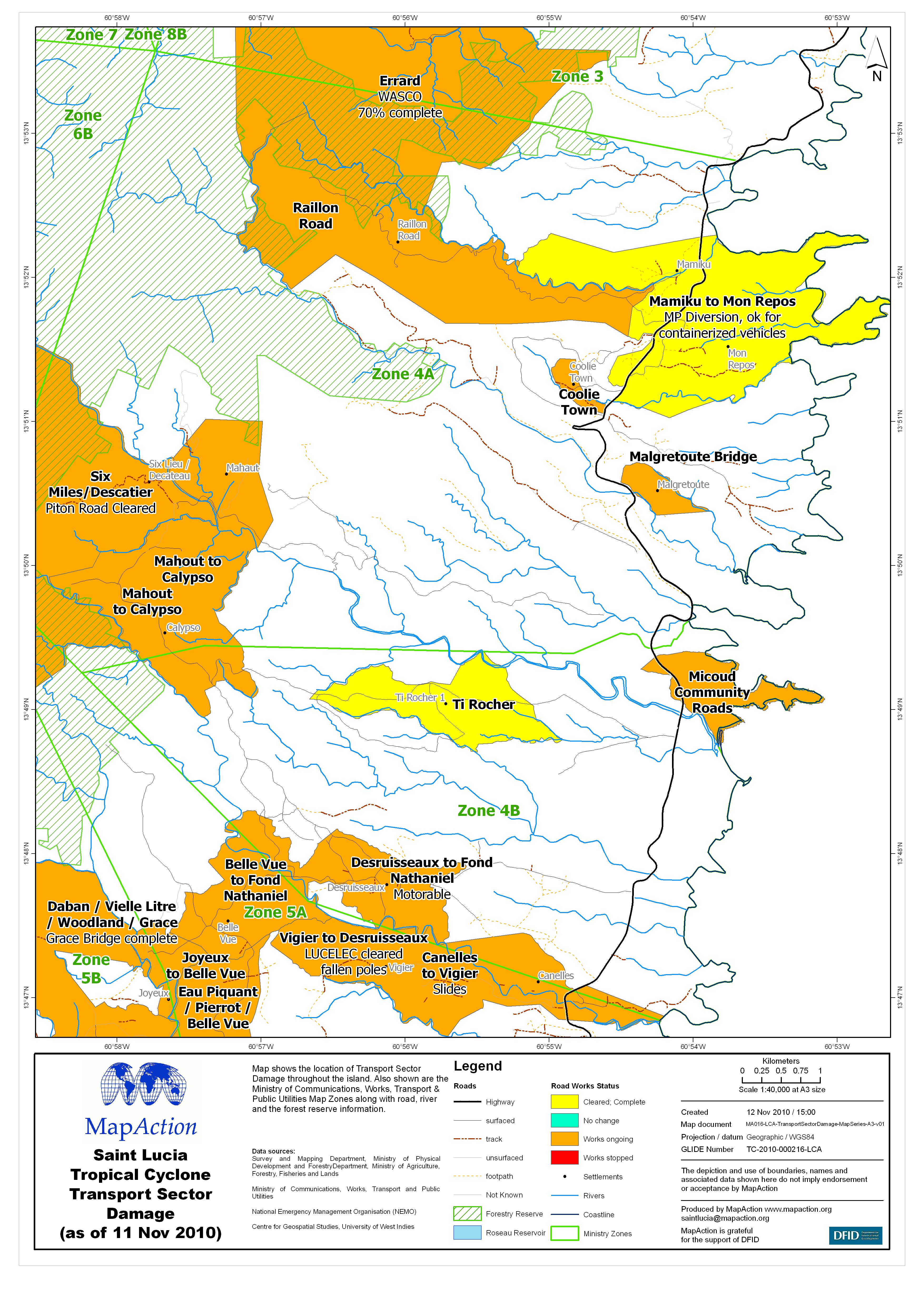
From the dataset abstract
Map shows the location of Transport Sector Damage throughout the island. Also shown are the Ministry of Communications, Works, Transport & Public Utilities Map Zones along with road,...
Source: Saint Lucia Tropical Cyclone Transport Sector Damage (as of 11 Nov 2010) - Map MA016F
Additional Information
| Field | Value |
|---|---|
| Data last updated | July 4, 2016 |
| Metadata last updated | July 4, 2016 |
| Created | July 4, 2016 |
| Format | JPEG |
| License | License not specified |
| Has views | True |
| Id | 7404738b-63c8-4e12-9a11-aad842c44b3c |
| On same domain | True |
| Package id | d04a9f62-ea1e-40da-b625-ecf76021dd5c |
| Revision id | fc88f8a2-86ec-45de-aedb-580b554b9394 |
| State | active |
| Url type | upload |